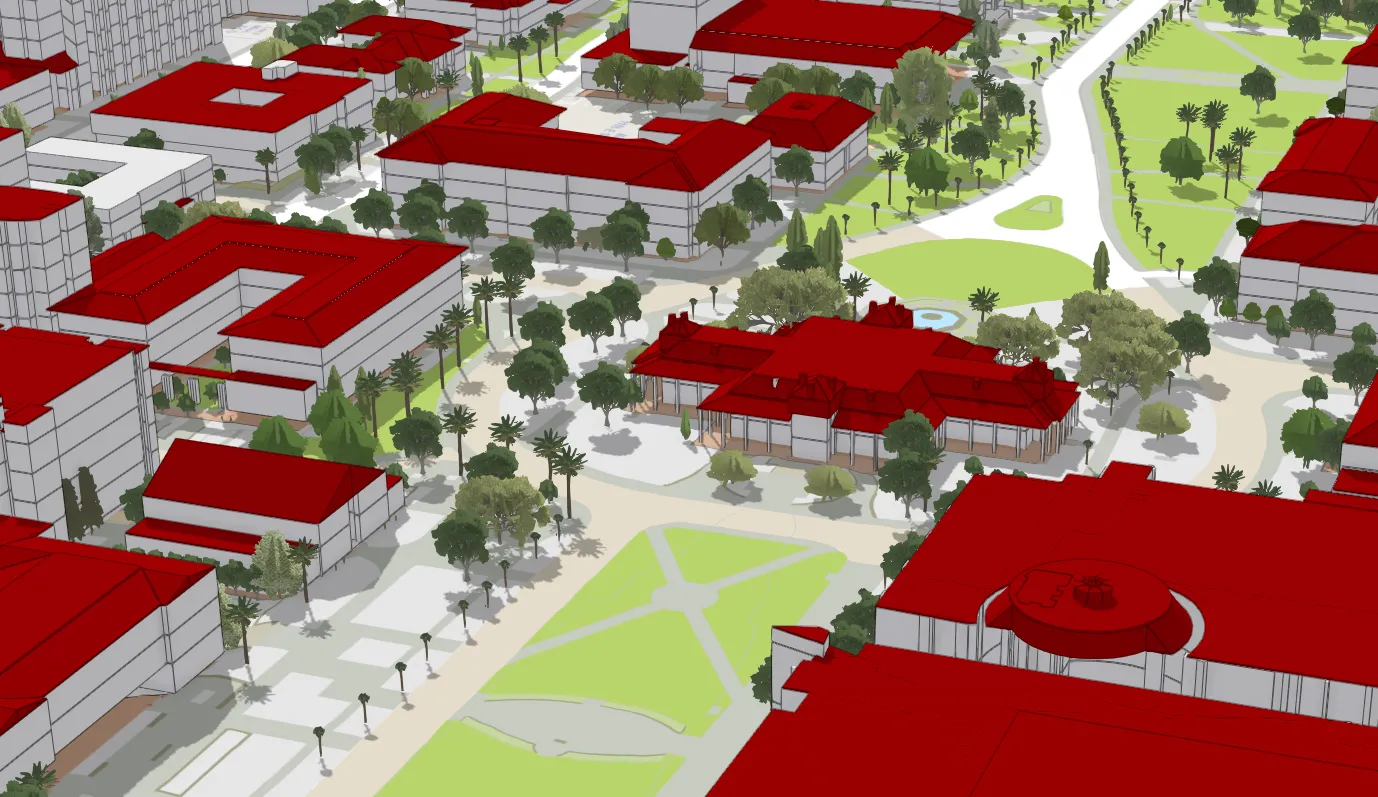
The UArizona Enterprise Geographic Information System (EGIS) is the University's system of record for campus maps, GIS data and applications, and enterprise-wide infrastructure services for spatial systems. GIS technology is used at the University to manage assets, analyze and plan the physical campus, assist with wayfinding, and support space and land management along with all other operational and development aspects of the institution. This is accomplished through products and services such as:
- Decision support and reporting for collaborators and partners across the institution
- Development and maintenance of interactive web map applications and services
- Project management and consulting
- Custom cartography and spatial analytics
- Management of common enterprise resources (GIS database, servers, basemaps, map services, and more)
- Development of automation workflows and procedures
- Product development, support, and training for end-users
- Management of the University's Esri GIS software site license and ArcGIS Online site for Administration
EGIS is a unit of University Facility Services (UFS) and serves all UFS units as well as departments across the University to meet needs for location-based information through tools such as the UArizona Public Map, the UArrive Parking and Transportation Map, the Campus Sustainability Map and much more. For more detailed information about EGIS services, applications, data, and training, please visit the EGIS Resource Portal.

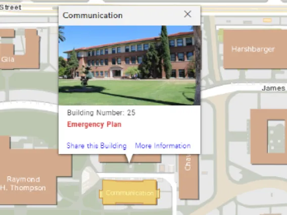
Locate Buildings

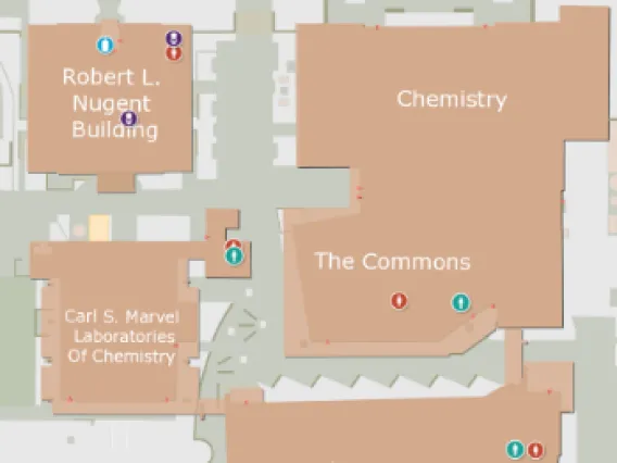
Find Resources

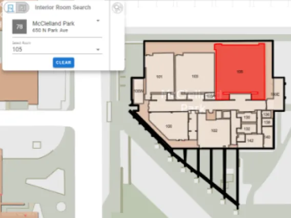
Visualize Floorplans
Meet Our Team!

Grant McCormick
Director, Enterprise GIS

Naveed Ahmed
GIS Application Developer

Maree Archuleta
GIS Analyst

Jessica Goff
Geospatial Data Curator


